CAST
Six machines search the water. The dive team searches one target.
CAST S6™ is a six-node surface search system for underwater search and recovery. It comes out of one case, goes in off the bank, and gives a dive team a picture of the bottom instead of a grid to swim.
The problem
A search is mostly waiting.
A car goes off a bridge. A boat capsizes. Somebody's truck is found at a boat ramp with nobody in it. What follows is a search of open water with no obvious place to start, and the tools for it are slow: a vessel towing a single sonar along a plotted grid, an operator watching a waterfall display, and a dive team standing on the bank in gear, waiting to be pointed at something.
Every hour of that costs money and daylight, and every dive spent confirming an empty patch of bottom is a dive spent in cold, zero- visibility water for nothing. The dangerous part of the job is the searching, not the recovery.
One case. Six nodes. One picture.
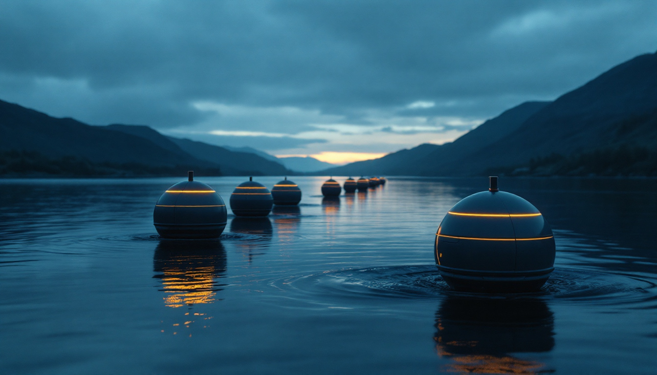
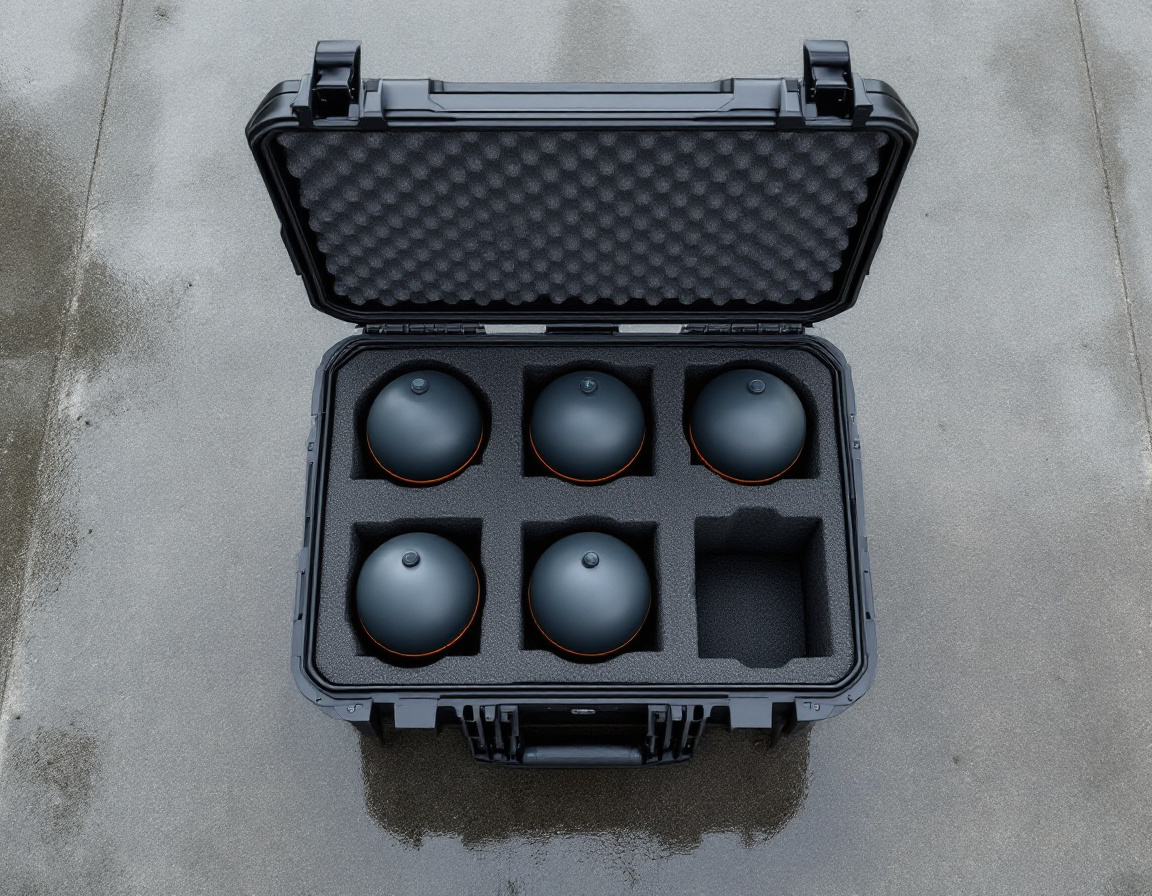
CAST S6™ ships as a single hard case. Inside, seated in foam, are six CAST Nodes™ — spherical, buoyant, and small enough that one person lifts one out with one hand.
The nodes go into the water and spread into a formation across the area you want covered. Each one floats upright, holds its assigned position on GNSS, and links to its neighbors on a mesh the group forms among themselves — no shore station, no repeater, nothing to set up on the bank. The underside of each sphere is a downward-looking sensor package that maps the bottom beneath it as it holds.
Six overlapping surveys, gathered at once and stitched on a common georeference, become one searchable picture of the bottom. The team reviews it, marks what does not belong there, and sends divers to a coordinate.
-
Deploy
Off the bank, out of the case
Nodes are hand-launched from a ramp, a bank, a dock or a small boat. There is no crane, no trailer, and no vessel to wait for.
-
Spread
The group takes the area
Given a search area, the nodes distribute themselves across it and hold their positions rather than being driven to them one at a time.
-
Mesh
They talk to each other, not to a tower
Each node relays for the others, so the group stays connected across a span no single radio would cover, and a node that drifts out of direct range is still reachable through its neighbors.
-
Survey
Six sensors, one pass
Every node maps the bottom underneath it. Coverage that a single towed sensor accumulates one track at a time is gathered in parallel.
-
Review
What does not belong on a lake bottom
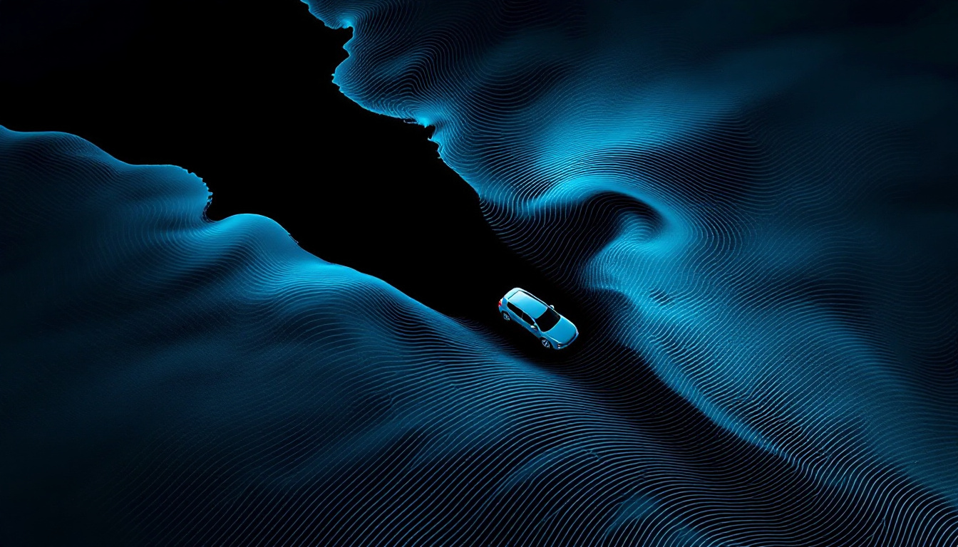
Lake and river bottoms are mostly featureless. A vehicle is not: it is hard, angular, the wrong size, and it casts an acoustic shadow. The system surfaces those returns for a human to judge.
-
Dive
To a coordinate
Divers enter the water once, on a marked target, with the nodes still on station overhead holding the reference.
Where it works
Inland water, which is where most of these searches happen.
Lakes and reservoirs, rivers and channels, quarries, flood water, and the margins where a road runs beside water and a vehicle can leave it. CAST is built for the water a county actually has to search, not for blue-water survey work.
Because the nodes float and hold position, current is a condition to work in rather than a reason to stop, and a river search does not require a vessel to hold station against the flow for hours.
- System
- CAST S6™ — Six-node Surface Search System. Six CAST Nodes™ in one transit case.
- Node
- Spherical, positively buoyant, self-righting, hand-launched.
- Positioning
- GNSS on every node. Positions are held by the node, not flown by an operator.
- Communications
- Self-forming node-to-node mesh. No shore station and no fixed infrastructure.
- Sensing
- Downward-looking bottom-mapping package integrated into the underside of each node.
- Output
- A georeferenced picture of the surveyed bottom, reviewable in the field.
- Environment
- Inland fresh water — lakes, reservoirs, rivers, channels and quarries.
- Endurance, coverage rate, depth range
- Provided under a specific request. We would rather give you figures against your water than publish a headline number that means nothing in a silted river.
CAST
Sheriff's offices, state police dive teams, fire and rescue, port and harbor authorities, and the search-and-recovery volunteers who do a great deal of this work.
Ask about CAST
Tell us the water you cover. We will come back with what the system does on it, and what it does not.